'Celtic Fields' – Stiefkinder der Archäologie Archaeology's stepchildren
Spuren urgeschichtlicher Beackerung in West-, Mittel-, Ost- und Nordeuropa Traces of prehistoric farming in Western, Central, Eastern and Northern Europe: Skørbæk Hede, Nordjütland Weiter more...

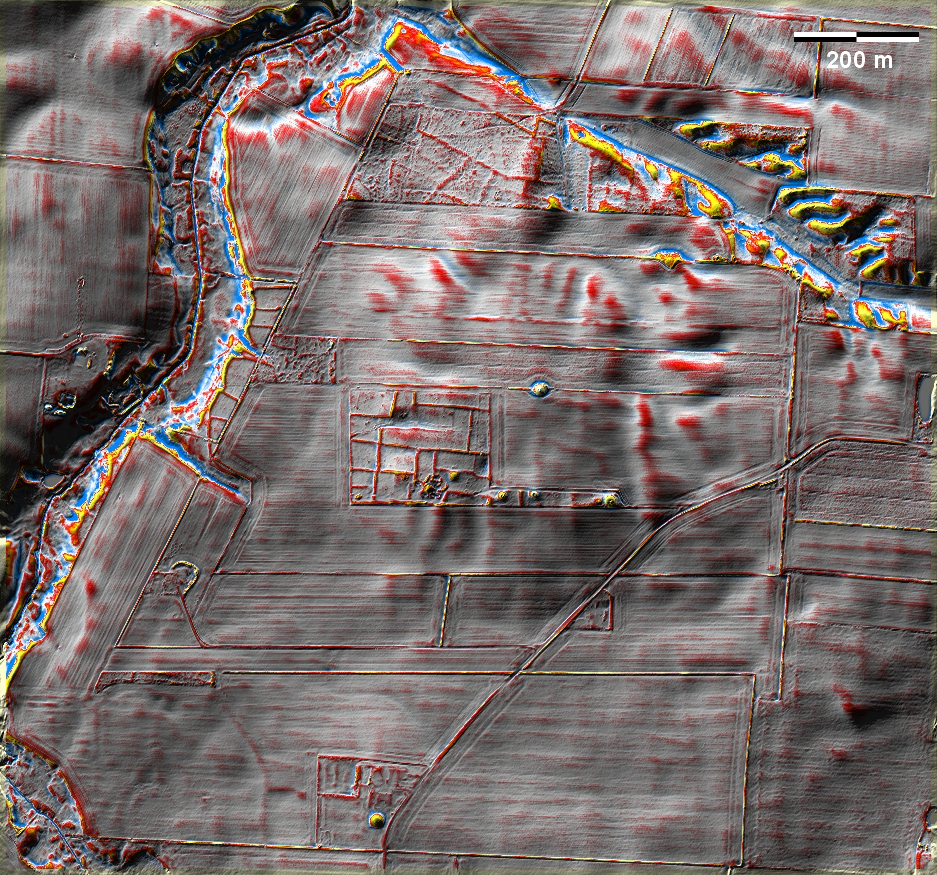
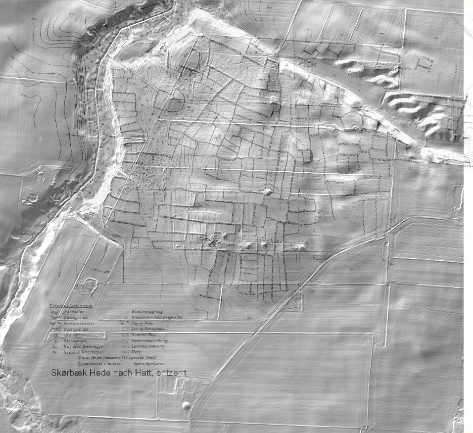
In der Skørbæk Hede südwestlich von Aalborg gelang es Gudmund Hatt noch, vor der Mitte des 20. Jahrhunderts viele damals noch bestehende oder unlängst überpflügte Parzellenränder von 'Celtic Fields' zu kartieren (Grafik rechts, TAB-file, Geotiff). 
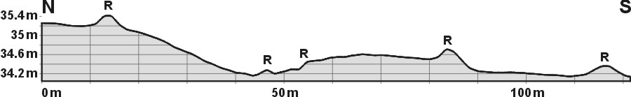
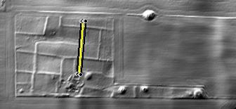
Heute sind noch zersplitterte Reste der ursprünglichen Feldmark und mehrere Grabhügel erhalten (oben). Am Westende der zentralen Hügelreihe konnte Hatt mehrere ältereisenzeitliche Häuser dokumentieren. In Skørbæk Hede, southwest of Aalborg, Gudmund Hatt succeeded in mapping many of the then still existing or recently ploughed-over edges of 'Celtic Fields' before the middle of the 20th century (graphic on the right, TAB-file, Geotiff). Today, fragmented remnants of the original fieldmark and some burial mounds remain (above). At the western end of the central row of mounds, Hatt was able to document several Older Iron Age houses. Weiter more...

Schnitt N-S durch erhaltene Parzellen nahe des Wohnplatzes Section N-S through preserved plots near the house site Lage des Schnitts Position of section

Daten © sdfi.dk. Wenn Sie diese Grafik herunterladen, müssen Sie zur Georeferenzierung mit Global Mapper oder Mapinfo auch das TAB-File laden und stets im gleichen Verzeichnis speichern. (Rechte Maustaste; Ziel speichern unter... Bei Umbenennung darauf achten, dass auch innerhalb des Tab-Files der Dateiname entsprechend umbenannt wird!) If you download this graphic, you must also load the TAB-File for georeferencing with Global Mapper or Mapinfo and save it always in the same directory. (Right mouse button; save target as... When renaming, make sure that the file name is also renamed within the tab file accordingly).
Grafik georeferenziert als GEOTIFF herunterladen oder als KMZ-File für Benutzung mit Locus Map + Smartphone oder Google Earth. Download georeferenced graphics as GEOTIFF e.g. for Avenza Maps + Smartphone or as KMZ-File for use with Locus Map + Smartphone or Google Earth.


Zurück Back Übersicht Nordjütland Overview Jutland-North © Volker Arnold 2023