Spuren urgeschichtlicher Beackerung in West-, Mittel-, Ost- und Nordeuropa Traces of prehistoric farming in Western, Central, Eastern and Northern Europe: Pionki-West, Ost-Polen Weiter more...
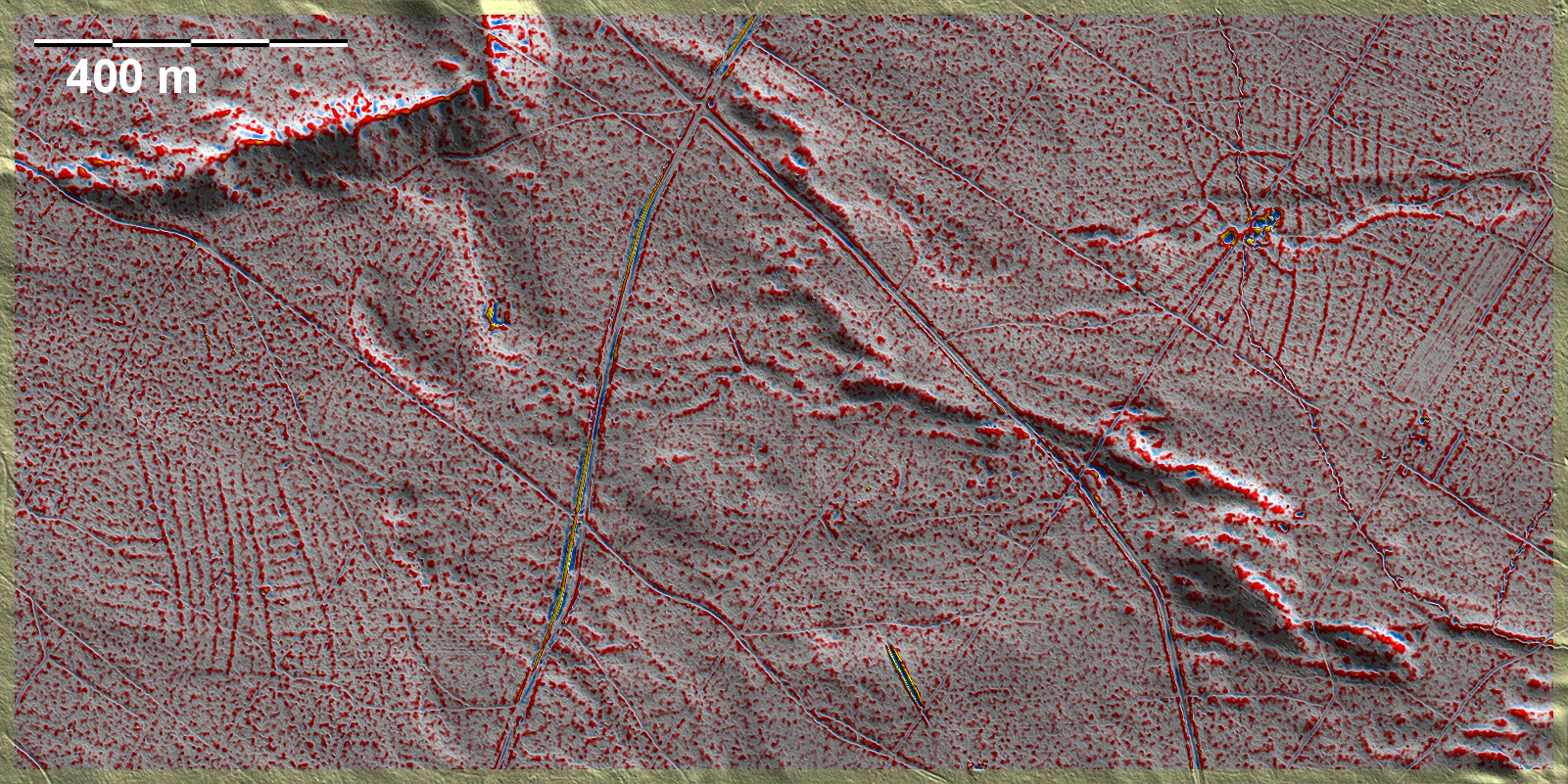
Westlich von Pionki, ca. 4 km nordöstlich der viel umfangreicheren Felder von Pionki-SW, finden sich im gleichen großen Wald zwei kleinere vollständige und isolierte 'Celtic Fields', die als Ausbauten der größeren angesehen werden können. Während das kleinere, gut 8 ha messende westliche System kein Kernelement erkennen lässt, hat sich das westliche, gut 12 ha messende System deutlich von innen nach außen entwickelt. Leider erscheint dessen zentraler Bereich etwas gestört zu sein. Beide Systeme lassen übergeordnete Parzellen und Unterteilungen in schmale Streifen erkennen. To the west of Pionki, about 4 km northeast of the much more extensive fields of Pionki-SW, there are two smaller complete and isolated 'Celtic Fields' in the same large forest, which can be regarded as extensions of the larger ones. While the smaller western system, measuring just over 8 ha, does not reveal any core element, the western system, measuring just over 12 ha, has clearly developed from the inside out. Unfortunately, its central area appears to be somewhat disturbed. Both systems show superordinate plots and subdivisions into narrow strips. Weiter more...