Spuren urgeschichtlicher Beackerung in West-, Mittel-, Ost- und Nordeuropa Traces of prehistoric farming in Western, Central, Eastern and Northern Europe: Tisted-Nørskov/Mølleskov, Nordjütland Weiter more...
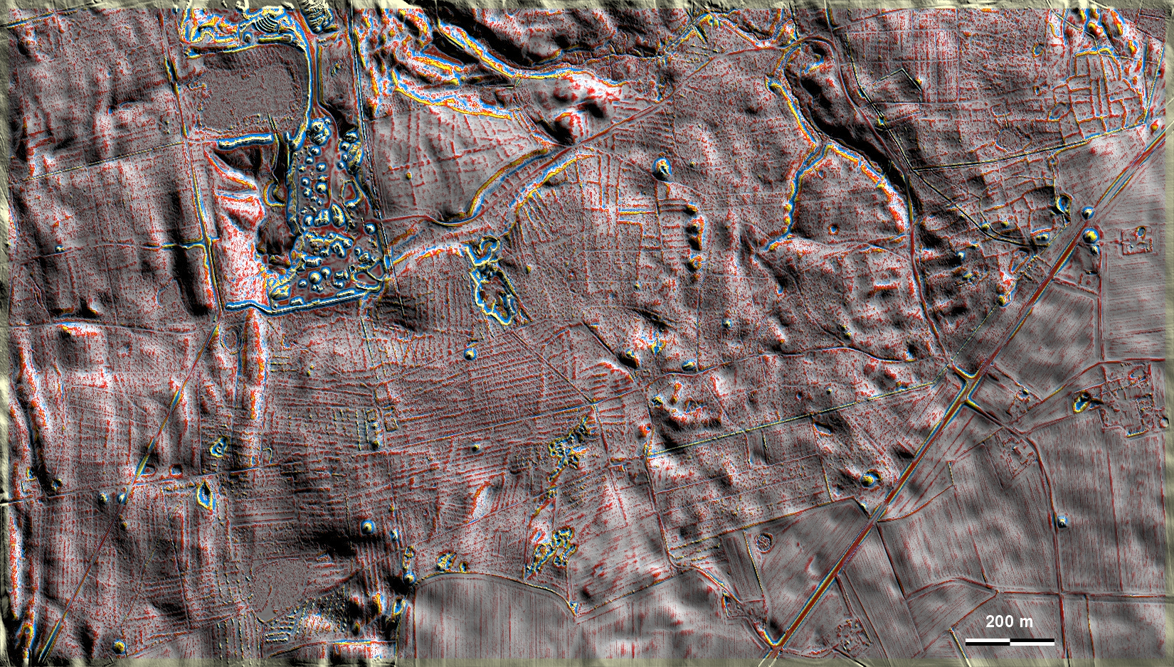
Im Nørskov und Mølleskov bei Tisted südlich von Aalborg gibt es vor allem in Nordosten der Grafik gut ausgeprägte 'Celtic Fields'. Die übrigen sind schwächer ausgeprägt bzw. durch Wölbbeetfluren überlagert. Außerdem sind zahlreiche Grabhügel zu sehen. Im Westteil gibt es zahlreiche Abgrabungen und forstliche Störungen. Ein Teil der 'Celtic Fields' liegt dort in einer Tannenbaumkultur und ist in seinem Fortbestand gefährdet. In Nørskov and Mølleskov near Tisted south of Aalborg there are well-pronounced 'Celtic Fields', especially in the north-east of the graphic. The others are less pronounced or overlaid with ridge-and-furrow beds. There are also numerous burial mounds. In the western part there are numerous quarries and forestry disturbances. Part of the 'Celtic Fields' is located there in a fir tree cultivation and its continued existence is endangered. Weiter more...