Spuren urgeschichtlicher Beackerung in West-, Mittel-, Ost- und Nordeuropa Traces of prehistoric farming in Western, Central, Eastern and Northern Europe: Dechsendorf-Mark-Süd, Bayern-Nord Bavaria-North Weiter more...
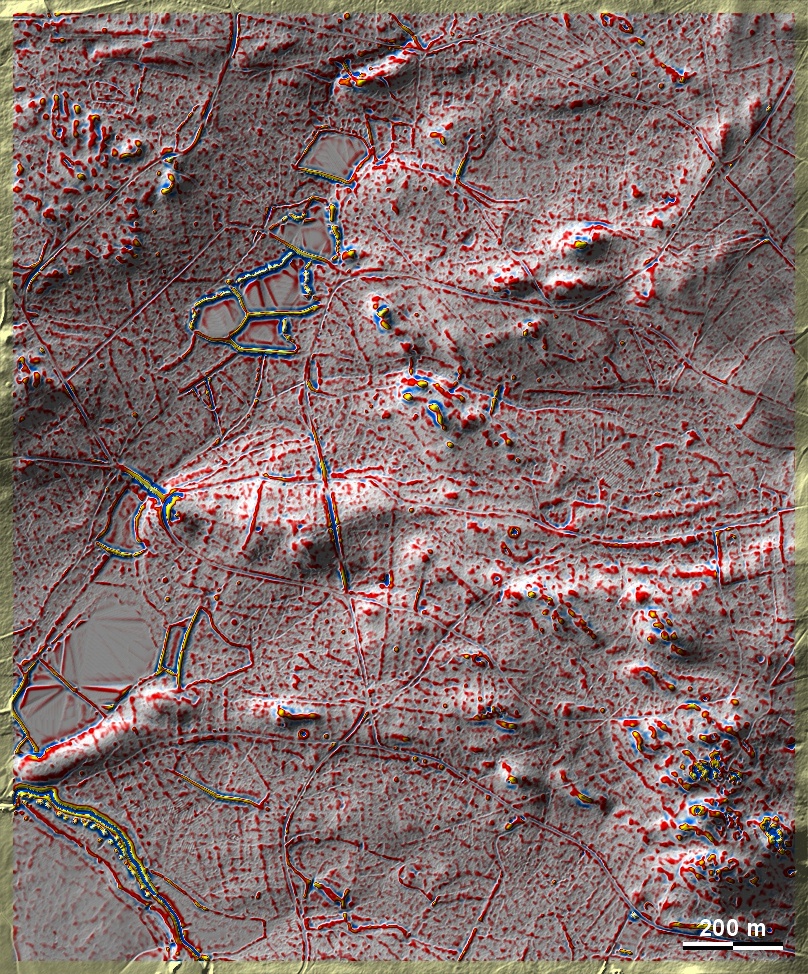
Im Südteil des Forstes Mark bei Erlangen-Dechsendorf liegen auf Sandböden über Keupersandstein 'Celtic Fields'. Ihr Layout ist unregelmäßig, wohl durch den stark reliefierten Grund bedingt. Die durch die Anlage von Teichen und Erdentnahmen gestörten Beackerungsspuren lassen in ebeneren Partien im Nordwesten und Südwesten der Grafik noch am ehesten Spuren übergeordneter Parzellen und einer Kammerung von Typ Przemęt erkennen. Einige verstreute, in der Grafik schwer erkennbare Grabhügel. In the southern part of the Mark forest near Erlangen-Dechsendorf, 'Celtic Fields' lie on sandy soils over Keuper sandstone. Their layout is irregular, probably due to the strongly relieved ground. The cultivation traces, which were disturbed by the construction of ponds and the removal of earth, among other things, reveal traces of superior plots and a Przemęt-type chambering in the flatter sections in the northwest and southwest of the graphic. Some scattered burial mounds, difficult to recognise in the graphic. Weiter more...