Spuren urgeschichtlicher Beackerung in West-, Mittel-, Ost- und Nordeuropa Traces of prehistoric farming in Western, Central, Eastern and Northern Europe: Grettstadt-Buchholz/Mönchsholz, Bayern-Nord Bavaria-North Weiter more...
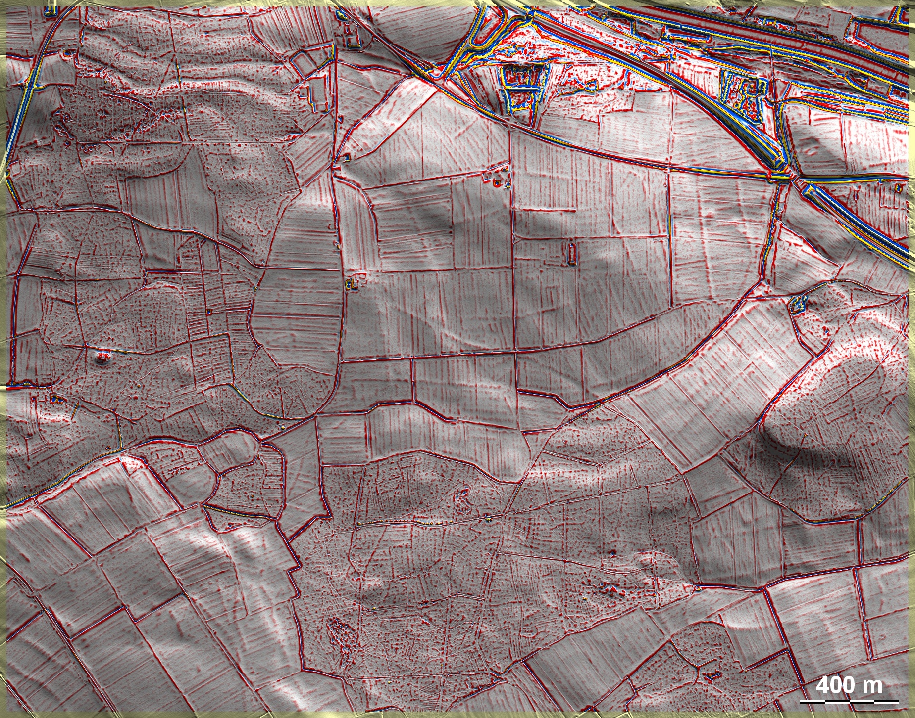
Im Buchholz und Mönchsholz bei Grettstadt, südlich der Bildmitte, finden sich auf sandigen Böden schwache Spuren von 'Celtic Fields' mit Andeutungen übergeordneter Parzellen, die teils in schmale parallele Langfelder aufgeteilt sind, teils eine Kammerung erahnen lassen und somit zum Umkreis des Typs Przemęt gehören. In den umliegenden Waldteilen der Grafik finden sich weniger eindeutige Spuren früherer Beackerung, allerdings westlich der Bildmitte ein riesiger Grabhügel (?) von ca. 65 m Durchmesser und noch 3 m Höhe, der in die Hallstattzeit oder früheste Latènezeit datieren dürfte. Einzelne weitere Grabhügel. In the Buchholz and Mönchsholz near Grettstadt, south of the centre of the image, there are faint traces of 'Celtic Fields' on sandy soils with hints of superior plots, which are partly divided into narrow parallel long fields, partly suggest a chambering and thus belong to the Przemęt type periphery. In the surrounding forest parts of the graphic there are less clear traces of earlier cultivation, but to the west of the centre of the image there is a huge tumulus (?) about 65 m in diameter and still 3 m high, which may date to the Hallstatt period or earliest Latène period. Other individual burial mounds. Weiter more...