Spuren urgeschichtlicher Beackerung in West-, Mittel-, Ost- und Nordeuropa Traces of prehistoric farming in Western, Central, Eastern and Northern Europe: Kitzingen-Gültholz, Bayern-Nord Bavaria-North Weiter more...
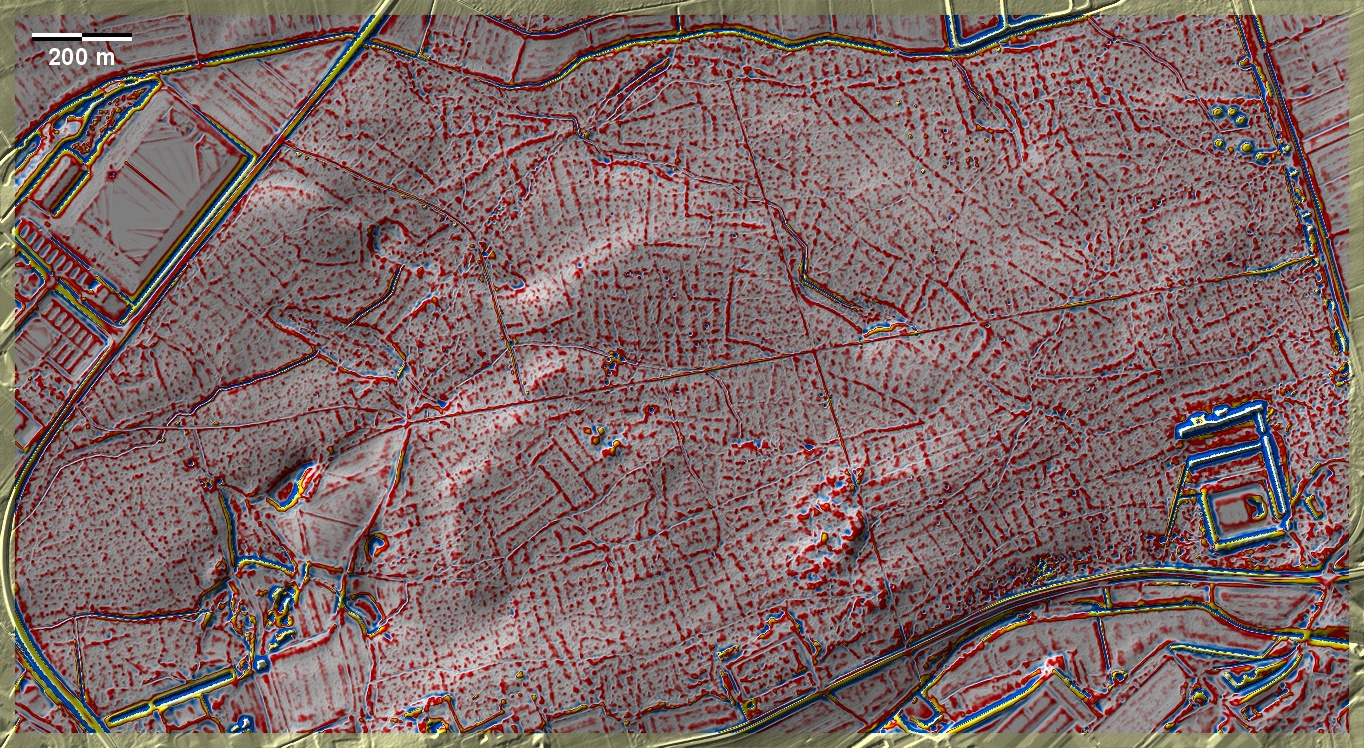
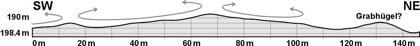
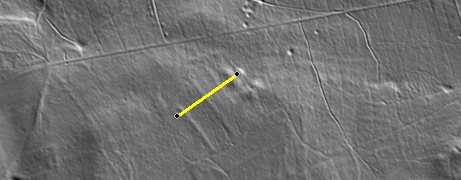
Das Gültholz am östlichen Ortsrand von Kitzingen birgt auf fast seiner gesamten Fläche 'Celtic Fields' vom gekammerten Typ Przemęt auf Sand- und Flugsandböden. Allerdings handelt es sich nicht um ein ganz einheitliches System, da z. B. nordöstlich der Bildmitte langgezogene nordwest-südöstlich ausgerichtete Großparzellen die 'Celtic Fields' zu durchschneiden scheinen. Einige versumpfte Flächen liegen mitten im Wald, hervorragende Objekte für palynologische Untersuchungen, die Aufklärung zur Bewirtschaftungsgeschichte geben können. Die Grabhügelgruppe im Nordosten datiert in die Hallstatt- und Frühlatènezeit. The Gültholz on the eastern edge of Kitzingen contains 'Celtic Fields' of the chambered type Przemęt on sandy and drifting sand soils over almost its entire area. However, it is not a completely uniform system, as, for example, to the north-east of the centre of the picture, elongated large plots, aligned from north-west to south-east, seem to cut through the 'Celtic Fields'. Some marshy areas lie in the middle of the forest, excellent objects for palynological investigations that can provide clarification on the cultivation history. The mound group in the northeast dates to the Hallstatt and Early Latène periods. Weiter more...